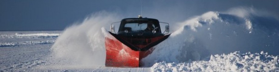
We checked out the ice roads this morning, and overnight, there were quite a few cracks that showed up. They are located off Pope, Point headed to the east, and another running north of the Banana |Reef headed east across the Tullibee Hole and continuing to the East south of Hennepin Island. Both are 3″-4″ wide. We marked them with cones where they cross our roads to prevent travel over them. Being this late in the year, we are not going to put out ramps or bridge them. We will advise no vehicle travel across or beyond unless it’s you have an ATV.
We will open our access to “light” 1/2 ton trucks and small (under 18ft) single axle wheelhouses to limited areas starting today. I’m not going to allow tandems or heavier vehicles out with the conditions and ice depths we have in front. Vehicles weighing under 6000lb curb weight can go out to rentals and to portable also. All will get an updated map so they know where they can go.
The bite overnight was pretty good for Walleye, and yesterday’s Perch action was decent also. So we will see if it continues.
Update: At Noon what was a 4″-5″ crack north of the Banana extending NE towards Hennepin Island and going west North of the Tundra turned into a Pressure Ridge. Everyone stayed south of where we marked it on our roads. So we are going to leave it alone. Fishing reports were good in checking with the rentals with nice sized Perch. Walleye action was best overnight for most.
Keep a Tight Line!
Eddy