Saturday was the day the Walleye decided to bite. I’m sure location and the weather change had something to do with it. Shortly after lunch it started and went until after dark with the NW wind switch. The best depths were from 14 to 21 feet in on the shallower reefs. The 20 plus feet on the deeper reefs had action but not as much. All afternoon my phone was receiving texts and pictures of nice C/R released Walleye. Many 25″s and a 27-1/2″. The Perch reports were good also with and average of one in 10 a “keeper” in the 10-12″ range. It was nice to see on a Saturday when so many Anglers were out. And fishermen realized that keeping things spread out so it’s quieter gives them a better chance to catch fish, and complemented us on our efforts to do it that way.
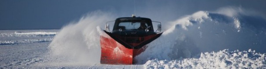
We spent the day pulling houses and clearing roads for the colder weather over the next few days. We will be pulling houses everyday and hoping to have the pull list completed by Wednesday-Friday for the coming weekend, (weather permitting). The road to the Tundra is ready for wheelhouse traffic. This year we had to get to it from the South Spider Road and approach it from the south. We normally come west from the Banana, but due to the rough ice that’s not happening this year.
Just a little info on how the Tundra was named and where that area actually is. 35 years ago during the 1987 winter season after the Twins World Series win, Kent Hrbek would bring some of the Twins players up to our place and rent houses because they wanted to fish and not be bothered. John Nelson and I had just pulled some rentals out to the NW tip of it. That year there was alot of thin rough ice chars sticking up all over the place. I stopped by one of the houses to see how they were doing and Kent was sitting by the picture window of our first ” VIP 1″ looking out. It was a cold windy day and he commented on the ice sheets standing up and drifting snow…” it looks like a the frozen Tundra out there”. That’s when we started calling it the Tundra. A couple years later Orrin Tutt, (the creator of the Mille lacs Walleye Whiffer Map) and I spent a few days out in the areas where we went mapping them. When we got out there mapping the tip of it, Orrin asked me if it had a name as most points of structure usually did in those days. I told him how we started calling it “The Tundra” and that’s how it ended up getting named on the Whiffer Map. Everything to south toward North Twin Island he named as “Cobbles and Gravel”. And all other mapping has followed suit over the years. Not everything over that way isn’t the “Tundra”. So now you know…
I will be checking ice depths later today and updating you on what we doing with wheelhouses this coming week.
Keep a Tight LIne! Eddy
”